
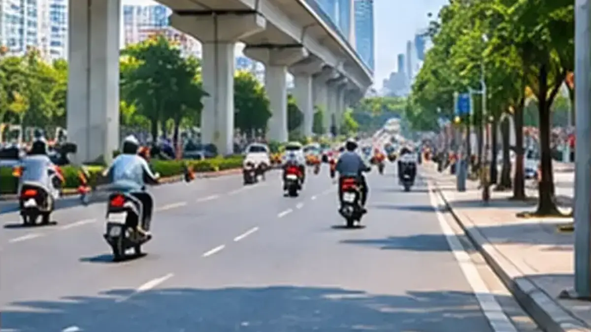
Gia Lâm lies on the east bank of the Red River, facing the Old Quarter, and several of its sights suit a motorbike trip well: Bát Tràng pottery village, the gold-leaf village of Kiêu Kỵ and the Phù Đổng temple complex, linked to the legend of Saint Gióng. The key to riding to Gia Lâm is choosing the right bridge across the Red River and then following the road that fits your destination. This guide covers the main routes, the times to avoid, how to prepare the bike and what to watch for on the dyke roads.
Hanoi abolished its district level in 2025. “Gia Lâm” is still the everyday name for the area east of the Red River, but administrative boundaries have changed. When you enter a destination in your map app, type a specific name such as “Bát Tràng pottery village”, “Kiêu Kỵ village” or “Phù Đổng temple” so you are guided to the right place.
The routes at a glance
Table of contents28
| Destination | Suggested Red River crossing | Main direction | Watch out for |
|---|---|---|---|
| Bát Tràng pottery village | Vĩnh Tuy or Chương Dương bridge | Cross to the east bank, then follow the Red River dyke road south-east | Narrow dyke road with trucks; see our dedicated guide |
| Kiêu Kỵ village | Chương Dương bridge | Nguyễn Văn Cừ, then old National Road 5 towards Trâu Quỳ, then turn off following your map | Do not enter the Hanoi – Hai Phong expressway |
| Phù Đổng temple | Chương Dương or Long Biên bridge | Nguyễn Văn Cừ and Ngô Gia Tự north-east, last stretch along the Đuống River dyke | Very busy during the Gióng festival |
Travel time depends heavily on traffic on the bridges. Published sources give different distances depending on the starting point and route, so check the real distance and time in your map app before setting off.
Choosing your Red River bridge
This is the most important decision of the trip. Each bridge has its own rules for motorbikes, and you should always follow the signs on the spot because rules can change.
Long Biên Bridge
This historic bridge is for motorbikes, bicycles, pedestrians and trains; cars are not allowed. The deck is narrow, motorbikes ride in their own lanes and some sections of the surface are uneven. Long Biên is convenient if you start from the northern side of the Old Quarter and want to head towards Ngô Gia Tự. Ride slowly, keep your distance and do not stop in the middle of the bridge for photos, however tempting the view.
Chương Dương Bridge
Chương Dương links the Trần Quang Khải area directly with Nguyễn Văn Cừ street and is the most common way across to Gia Lâm. Both motorbikes and cars use it, so it gets very crowded at rush hour. Stay in the lane for motorbikes and watch for vehicles changing lanes at both ends of the bridge.
Vĩnh Tuy Bridge
If you are staying south of the centre or want to head straight for Bát Tràng, Vĩnh Tuy is a sensible choice. Once on the east bank you can join the Red River dyke road. Read the signs carefully at the ramps on and off the bridge so you end up in the right lane.
Bridges that are not for motorbikes
Some bridges and elevated roads belong to ring roads or expressways and do not allow motorbikes. Map apps sometimes still suggest them if you are in car mode. Switch to motorbike mode and always give priority to the signs you see on the road.
What is worth seeing in Gia Lâm?
Bát Tràng pottery village
Bát Tràng is the best-known destination on the east bank, famous for its ceramics. We already have a dedicated guide on riding to Bát Tràng pottery village, including the dyke road and where to park. If you only have one morning or afternoon, Bát Tràng is usually the easiest option.
Kiêu Kỵ gold-leaf village
Kiêu Kỵ is known for beating gold and silver into extremely thin leaf, used to gild statues, lacquered boards, couplets and lacquer paintings. According to Báo Pháp luật Việt Nam (25 June 2021), the craft is more than 300 years old, dating back to the Later Lê period, and has been recognised by the Ministry of Culture, Sports and Tourism as national intangible cultural heritage. Villagers honour the scholar Nguyễn Quý Trị as the founder of the craft, with an anniversary ceremony on the 17th day of the 8th lunar month and a ceremony to open the working year on the 12th day of the first lunar month.
The same article notes that many households switched to making leather and imitation-leather goods. So in Kiêu Kỵ you will see leather shops alongside families who still practise gold beating. Many workshops are also homes, so ask before going in or taking photos.
The Phù Đổng temple complex
Phù Đổng temple is tied to the legend of Saint Gióng, the boy hero who grew into a giant to fight invaders. According to Báo Văn hóa (5 May 2025), it is a special national relic site (ranked in 2013), and the Gióng festival at Phù Đổng and Sóc temples was inscribed by UNESCO in 2010. A Tuổi Trẻ article (8 June 2014) describes the Upper Temple with a water pavilion beside a pond, the Ngọc well and an inner sanctuary holding a statue of Saint Gióng, while the Lower Temple, east of the Upper Temple, honours his mother. Báo Văn hóa reports that the 2025 festival ran from 26 April to 7 May, which corresponds to the 29th day of the 3rd lunar month to the 10th day of the 4th lunar month.
Each route in more detail
Towards Bát Tràng
After crossing Vĩnh Tuy or Chương Dương bridge, head south-east to join the Red River dyke road. The views of the river and its floodplain are pleasant, but the road is not wide and some stretches carry trucks and buses. Keep right, do not overtake on bends and take care on the ramps up and down the dyke. Our Bát Tràng guide, linked above, goes into more detail.
Towards Kiêu Kỵ
Cross Chương Dương bridge, follow Nguyễn Văn Cừ and then join old National Road 5 towards Trâu Quỳ. From there, follow your map app into the Kiêu Kỵ area. Remember that old National Road 5 is not the same as the Hanoi – Hai Phong expressway, which motorbikes are not allowed to use. At large junctions, read the direction signs carefully and stay in the mixed lane used by motorbikes. Kiêu Kỵ is not far from Bát Tràng, so you can combine the two in one outing if you start early.
Towards Phù Đổng temple
Cross Chương Dương or Long Biên bridge, then ride along Nguyễn Văn Cừ and Ngô Gia Tự heading north-east. The final stretch usually follows the dyke of the Đuống River into the temple area; the 2014 Tuổi Trẻ article also describes riding along the Đuống dyke to reach the temple. Because there are several ways to join the dyke from the main road, let your map app guide you in motorbike mode and double-check as you get close.
When to ride and when to avoid
The Red River bridges are usually busy in the morning as people commute to work and again in the late afternoon. If you can, leave after the morning peak and come back before the evening rush. During the Gióng festival the area around Phù Đổng temple is extremely crowded and traffic may be diverted; go early and follow the instructions of officials on the spot.
At weekends, the road into Bát Tràng sees many more visitors than on weekdays. For relaxed sightseeing and photos, a weekday morning is the most comfortable choice.
Preparing the bike
Before leaving the Old Quarter, check tyres, brakes, lights, horn and fuel. If you are renting, our guide to checking the fuel level at pickup helps you work out how much to add. Some dyke and village roads have few petrol stations, so it is best to fill up before crossing the river.
With a rental bike, ask clearly about the rental company’s roadside support coverage: whether the bike may be taken to Gia Lâm, who to call in case of a puncture or breakdown and how costs are handled. Save the rental company’s number in your phone before you go.
Riding on the dyke roads
Gia Lâm’s dyke roads are often narrow, with little or no shoulder and steep ramps down into the villages. Wind off the river can be strong, especially on a light automatic scooter. Keep a moderate speed, hold the handlebars firmly and look carefully before going down a ramp, as vehicles or pedestrians may come out of the lanes below.
When you meet an oncoming truck or bus, slow down and keep close to the right edge. Do not overtake where you cannot see ahead, and do not stop on the dyke road to take photos; if you want to stop, find a wide patch of ground beside the road or ride down into the village.
Parking at your destination
In Bát Tràng, Kiêu Kỵ and the Phù Đổng temple area, use an attended parking point with a ticket or the space set aside for visitors. Keep the ticket safe and take a photo of it with your number plate. According to VnExpress, from 15 October 2026 the fee for motorbikes at publicly funded street parking points in Hanoi is 10,000 VND per visit; private lots may charge differently, so ask before you park.
When the weather turns
Hanoi summers are hot with sudden showers, and winters bring cold, damp days with drizzle. On the open dyke roads you feel the sun, wind and rain far more than in the city streets. Pack a raincoat, a face mask, sunglasses and sunscreen. In heavy rain, wait under cover rather than pushing on along a slippery dyke road.
Checklist before you go
- A helmet with the strap fastened, a valid licence and the bike’s papers.
- Tyres, brakes and lights checked, and enough fuel for the trip.
- Your map app set to motorbike mode and a fully charged phone.
- The rental company’s phone number, if you are on a rented bike.
- A raincoat, water and small banknotes for parking.
Frequently asked questions
Which bridge should I use to ride to Gia Lâm?
Chương Dương is the most common choice. Long Biên is handy for heading towards Ngô Gia Tự, and Vĩnh Tuy works well for Bát Tràng. Always follow the signs on the spot.
Can motorbikes use Long Biên Bridge?
Yes. Long Biên Bridge is for motorbikes, bicycles and pedestrians; cars are not allowed. The deck is narrow, so ride slowly and do not stop in the middle.
Can I combine Bát Tràng and Kiêu Kỵ in one trip?
Yes, if you leave early, as the two villages are not far apart. Use your map app between them and leave some spare time.
Is Phù Đổng temple crowded during the festival?
Very. The Gióng festival draws large crowds; in 2025 it ran from 26 April to 7 May according to Báo Văn hóa. Arrive early and follow any traffic diversions.
Are the dyke roads dangerous?
They are narrow, carry trucks and have ramps down to the villages, so ride slowly, keep right and never stop on the road surface. If you are new to riding in Vietnam, go in daylight and dry weather.
Can I rely completely on my map app?
Map apps are very helpful, but choose motorbike mode and always give priority to road signs, because some elevated roads and expressways do not allow motorbikes.
Renting a motorbike from Mr Tú
If you would like to explore Hanoi at your own pace, Mr Tú rents out automatic scooters and semi-automatic motorbikes near the Old Quarter, by the day, the week or the month. See our page on motorbike rental near the Old Quarter or contact Mr Tú to ask about availability, the documents you need, where the bike may be ridden and the current rental conditions before you set off.
In short: riding to Gia Lâm starts with picking the right Red River bridge: Chương Dương for most trips, Long Biên towards Ngô Gia Tự and Vĩnh Tuy towards Bát Tràng. From there, follow the road that suits your destination, take the dyke roads at a moderate pace, park at attended points and avoid the bridges at rush hour.

Comments